
We have enabled Geolocation on all web maps. This brings all interactive maps in line with the Explore map, where this was already available.
Geolocation allows users to quickly locate themselves on a map, helping them orient themselves when viewing information about their local area.
Users can geolocate themselves by tapping the target icon in the top left of the map. The website will then ask for permission to access the user’s location if permission is not already granted.
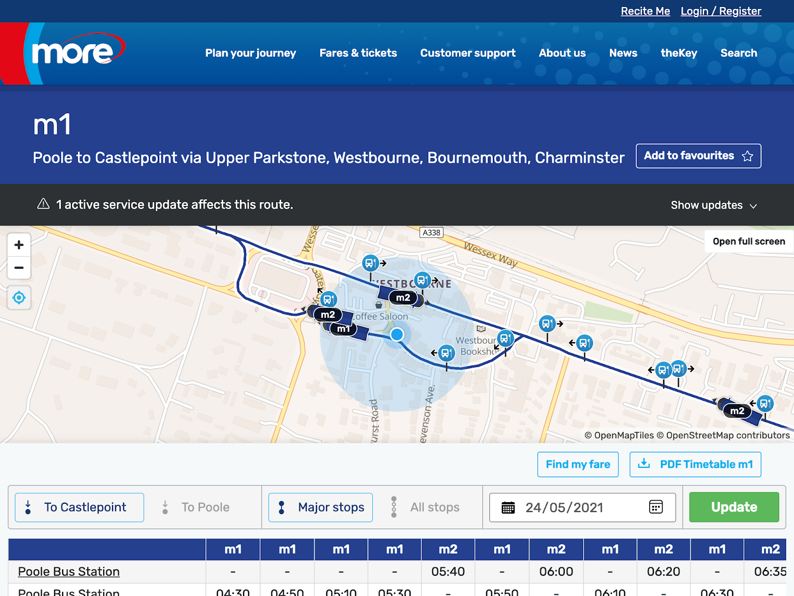
A user geolocating themselves using a Route Map
If the user is located outside of the operating area (and cannot be shown on the map) then the geolocation button will turn red.
Geolocation is now enabled on the following maps:
- Route Map (Pictured above)
- Journey Planner
- Single Journey
- Fleet List
- Ticket Coverage
- Live Vehicles
If you have any questions at all, please get in touch.